// 01
Digital Twin Creation
High-fidelity photorealistic 3D models of buildings, infrastructure, and sites — enabling remote inspection, planning, and asset management at any time.
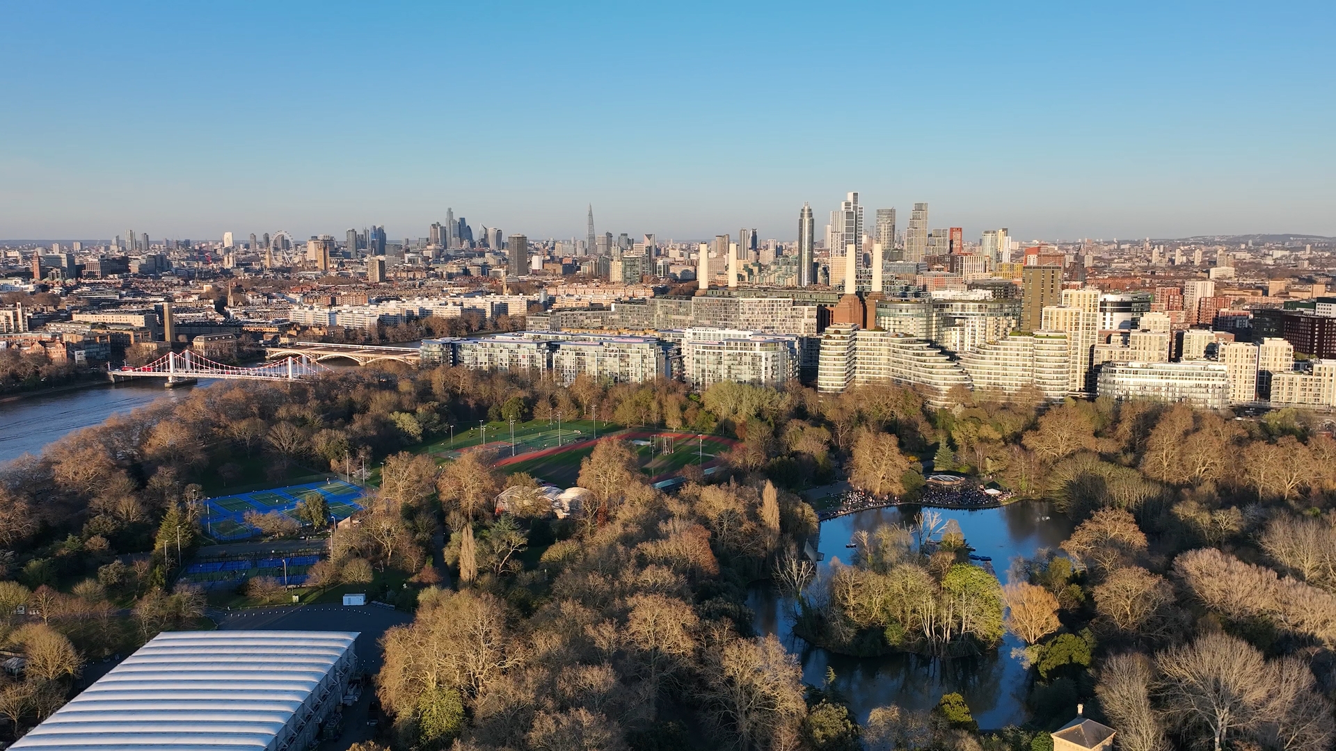
Professional drone operations delivering precision aerial intelligence — surveying, inspection, 3D modelling, cinematography, and bespoke UAV solutions.
Photorealistic 3D site replicas
Topographic mapping & volumetric analysis
Cinematic 4K & 6K aerial imagery
Rooftop, bridge & infrastructure
Aerial crop monitoring & analysis
Custom UAV ops for specialist briefs
High-fidelity photorealistic 3D models of buildings, infrastructure, and sites — enabling remote inspection, planning, and asset management at any time.
High-resolution topographic surveys, 3D modelling, and volumetric analysis for construction, civil engineering, and land management projects.
Cinematic aerial footage for real estate marketing, events, brand campaigns, and documentary production.
VLOS-capable inspection of rooftops, bridges, telecommunications infrastructure, and energy assets — safer, faster, and more cost-effective than traditional access.
Aerial imaging to assess crop health, identify problem areas, and guide precision agriculture decisions across large landholdings.
Live and recorded aerial perspectives for sporting events, festivals, corporate occasions, and public gatherings — with full regulatory clearance.
Specialist drone deployments designed around your specific brief.
Tell us about your project via the form or by phone. We respond within 24 hours to discuss objectives and assess feasibility.
We conduct a full airspace review, risk assessment, and regulatory check — ensuring every operation is planned safely and legally.
A detailed flight plan tailored to your deliverables — equipment, flight paths, capture parameters, and contingencies.
Our CAA-qualified pilots execute the mission with precision, capturing data or imagery to the agreed brief.
Raw data is processed, edited, and quality-checked before delivery in your required format — typically within 48–72 hours.
Whether you have a defined brief or an early-stage idea, we're happy to discuss what's possible. Fill in the form and one of our team will be in touch within one business day.